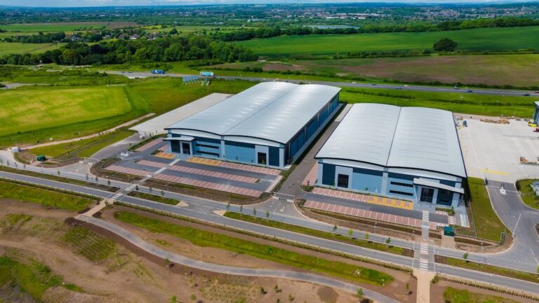
Highways projects in the UK demand meticulous planning, accurate measurements, and efficient data collection to ensure successful implementation. With our clients, the introduction of unmanned aerial vehicles (UAVs), commonly known as drones, has revolutionised the field of surveying. With our advanced capabilities, drones have become invaluable tools for surveyors, offering enhanced efficiency, improved safety, and accurate data collection. In this post, we explore how drones are transforming highways projects and supporting surveyors in the UK.
- Enhanced Efficiency and Productivity:
Traditional surveying methods often involve manual labor, time-consuming measurements, and complex data processing. Drones have streamlined these processes, significantly improving efficiency and productivity. Equipped with high-resolution cameras and LiDAR sensors, drones can quickly capture detailed aerial images and collect precise measurements of large areas in a fraction of the time compared to conventional surveying methods. This accelerated data collection allows surveyors to expedite the planning and design stages of highways projects, leading to more efficient project timelines and cost savings.
- Accurate Data Collection and Mapping:
Accurate data collection is crucial for the success of highways projects. Drones equipped with advanced sensors and photogrammetry technology can capture highly detailed aerial imagery, creating high-resolution maps and 3D models of project sites. This enables surveyors to obtain accurate topographic information, identify potential obstacles, and assess terrain conditions. The data collected by drones allows for precise measurements, volume calculations, and analysis, empowering surveyors to make informed decisions during the design and construction phases.
- Improved Safety and Risk Mitigation:
Highways projects often involve working in hazardous environments, such as busy roads, steep slopes, or unstable terrains. Drones provide a safer alternative for surveyors by reducing their exposure to potential risks. Instead of manually accessing dangerous areas, surveyors can deploy drones to capture aerial images and conduct surveys from a safe distance. This not only minimizes the risk of accidents and injuries but also enhances overall site safety. Additionally, drones can be equipped with thermal cameras to identify potential issues like unstable ground or water leakages, further mitigating risks during the planning and construction stages.
- Real-time Monitoring and Site Inspection:
Drones play a vital role in monitoring and inspecting highways projects in real-time. Surveyors can deploy drones to capture up-to-date images and videos of the project site, allowing for ongoing progress monitoring. By comparing these visuals with the project’s design plans, surveyors can identify any deviations or discrepancies early on and take corrective measures promptly. Real-time monitoring also facilitates effective communication among project stakeholders, ensuring everyone is updated on the project’s status and potential challenges.
- Cost Savings and Environmental Benefits:
The utilization of drones in highways projects offers significant cost savings and environmental benefits. By accelerating data collection and streamlining processes, drones reduce the need for extensive manual labor, resulting in reduced project costs. Additionally, the accurate data collected by drones enables optimized design and construction plans, minimizing material wastage and avoiding costly rework. Furthermore, drones are more environmentally friendly compared to traditional surveying methods that often involve heavy machinery and increased fuel consumption. By adopting drones, highways projects can contribute to sustainable practices and reduce their carbon footprint.
In summary:
Drones have transformed the field of surveying in highways projects in the UK. The advanced capabilities of UAVs, including enhanced efficiency, accurate data collection, improved safety, and real-time monitoring, have revolutionized the way surveyors plan, design, and implement highways projects. With their ability to capture high-resolution imagery, collect precise measurements, and create detailed maps, drones empower surveyors to make informed decisions and optimise project outcomes.