
WHAT IS DRONE MAPPING?
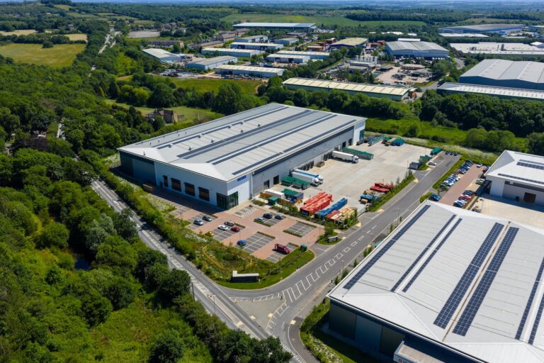
Drone mapping involves flying a drone equipped with a high-resolution camera over an area to capture overlapping aerial photographs. Specialised software then stitches these into a 2D orthomosaic map, which is a geo‑referenced, distortion-free, high-resolution image. For added depth and measurement, the same data can generate 3D models, Digital Surface Models (DSMs), Digital Elevation Models (DEMs), and even point clouds.
HOW CAN THEY BE UTILISED?
LAND SALES / MARKETING
Provides clear, precise visuals of property boundaries and entire plots.
CONSTRUCTION PROGRESS AND MONITORING
Supports client reports, regulatory compliance, and project tracking.
ARCHITECTURAL SITE SURVEYS
Delivers baseline mapping for planning and design stages.
INSURANCE AND DOCUMENTATION
Creates timestamped visual records of site conditions and layouts.
HOW ARE THEY HELPFUL?
LAND SALES AND ESTATE PLANNING: Useful for showcasing entire plots or estates in marketing materials.
CONSTRUCTION SITES: Enables site-wide progress monitoring, surveying, and overlay onto CAD/GIS plans.
HIGHLY ACCURATE MAPPING: Great for measuring dimensions, boundaries, and creating detailed site documentation.
TIME SAVING AND SAFE: Faster than traditional ground-based survey methods and safer in challenging areas.
WHY CHOOSE PHOTOS.CO.UK FOR DRONE MAPPING?
| Highlight | Benefit |
|---|---|
| PROFESSIONAL DRONE OPERATORS | We are CAA-approved, and insured and have years of drone piloting experience |
| COMPREHENSIVE COVERAGE | We always capture expansive areas—be they construction zones, fields, or estates and deliver the results you need |
| GEO-REFERENCED MAPS | We use top of the range stitching software, ensuring each pixel correlates to real-world coordinates |
| VERSITILITY | Our images can be used across different business and are great for surveying, marketing, planning—even progress comparisons over time |
Photos.co.uk’s Plan View service delivers precise 2D aerial orthomosaics, ideal for land marketing, construction oversight, surveying, and long-term project documentation. It’s a powerful, efficient substitute for traditional ground-based mapping—particularly when you need high-resolution, accurate, and professional mapping across large areas.