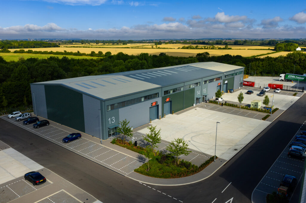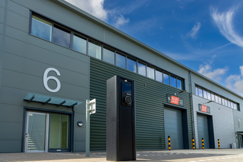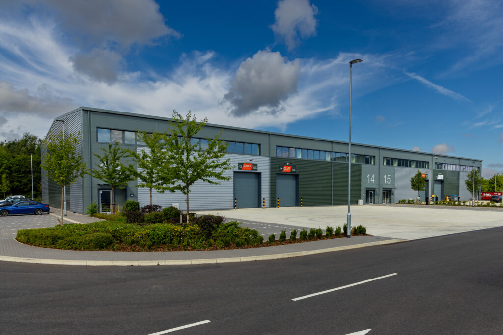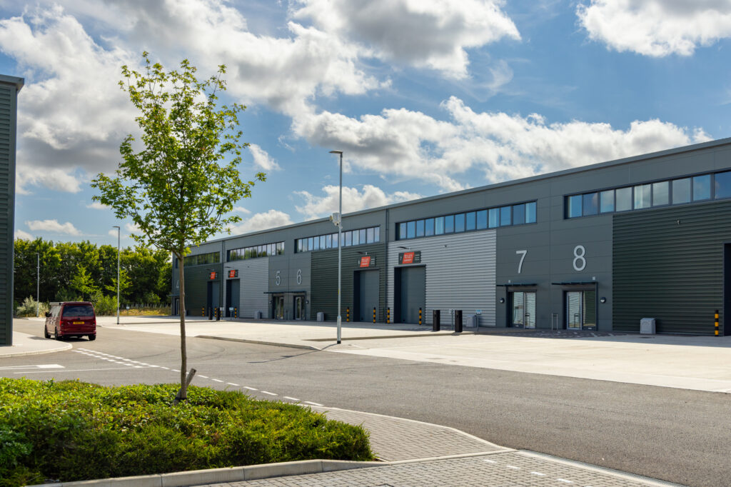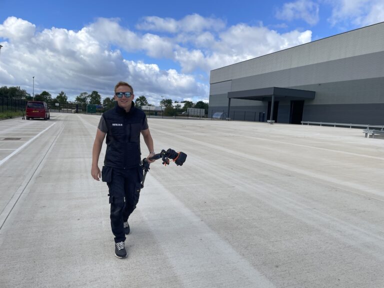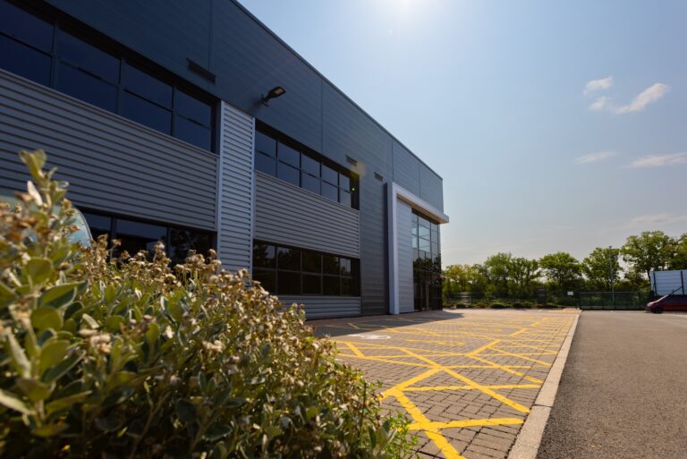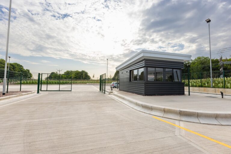

At Photos.co.uk, our expertise isn’t just in capturing stunning visuals—it’s ensuring every flight is executed with the highest level of safety and compliance. In a recent shoot at Aston Clinton, we faced the unique challenge of operating a drone right next to an RAF base. Here’s how we navigated the process, turned it into a stress-free experience for our client, and delivered top-tier aerial and ground photography for their marketing materials.
1. CAA GUIDANCE: WHAT YOU NEED TO KNOW?
Before any drone operation near airfields or military installations, it’s crucial to consult the Civil Aviation Authority (CAA) for up-to-date regulations:
AIRSPACE RESTRICTIONS
The CAA emphasises that no matter how close to the ground or who owns the land below, all outdoor airspace is controlled. Their guidance covers types of permanent restrictions—such as prohibited, restricted, or danger areas around aerodromes, military ranges, and government sites—and temporary restrictions like event-related or emergency-notified NOTAMs.DRONE APPS & AIRSPACE VISUALISATION
The CAA notes that while there are several apps that display airspace information, drone operators must ensure the data is clear, accurate, and up-to-date—and always verify against official sources.FRZ & RPZ ZONES AROUND AERODROMES
Flight Restriction Zones (FRZs) and Runway Protection Zones (RPZs) are established around protected aerodromes. FRZs typically extend up to 2,000 feet above the airfield and take the shape of runway-trajectory buffers. It’s illegal to operate a drone inside these zones without explicit permission from air traffic control or the facility itself
2. DIGITAL FLIGHT APPROVAL USING DRONE ASSIST
To manage permissions efficiently, we used Drone Assist—the leading UK drone safety and flight planning app powered by Altitude Angel:
Interactive mapping shows no-fly zones, ground hazards, and active airspace restrictions in real time
The ‘Fly Now’ feature allows instant sharing of your flight location with other airspace users to avoid conflicts
In areas with UTM‑Ready infrastructure, Drone Assist—or associated platforms like GuardianUTM—can streamline digital approval workflows and even automatically process permissions based on set criteria
3. HOW WE HANDLED THE ASTON CLINTON SHOOT?
Here’s a breakdown of our process, following CAA rules and using Drone Assist as a planning tool:
REASEARCH & PLANNING
We identified the proximity of the industrial site to the RAF base and consulted AIS/NATS data to assess FRZ/RPZ boundaries.
CONTACT & APPLICATION
We directly contacted the RAF base to request drone flight permission, detailing the intended location, height, and timing.
FLIGHT DAY EXECUTION
Upon arrival, we informed the RAF base of our lift-off via the provided contact number. We strictly adhered to the agreed flight limits—altitude, radius, timing—and completed the mission.
FINAL CO-ORDINATION
After landing, we called the base again to confirm the completion of operations.
DRONE ASSIST LOGGING
We logged the flight using Drone Assist—ensuring visibility to other airspace users and compliance transparency (and explaining the “Fly Now” feature for situational awareness).
4. FINAL OUTCOME
Thanks to a meticulous, regulation‑driven approach:
We delivered a complete suite of aerial and ground-based imagery—ideal for the client’s website and brochures.
The client gained confidence knowing everything was done following CAA and RAF protocols.
The process served as a model for how professional drone teams manage operations near sensitive airspace.
5. WHY THIS MATTERS
Drone operations near controlled airspace—especially RAF bases—can be intimidating. But with the right knowledge, permissions, and tools (like Drone Assist), it becomes a smooth, compliant, and safe process. At Photos.co.uk, our experience and CAA-authorised workflows make us the ideal partner for complex drone shoots.
OUR FAVOURITE SHOTHere we have a selection of our favourite shots from the Aston Clinton shoot